

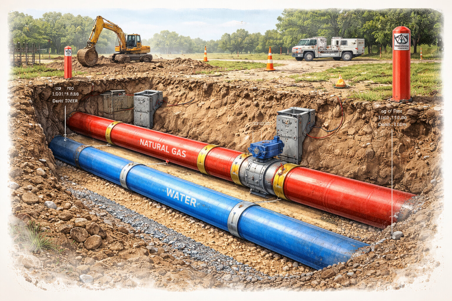
Pipeline operators face numerous challenges in surveying and maintaining pipelines. Traditional methods can be slow, costly, and at times dangerous for workers. That’s where drone pipeline surveys come in. This innovative technology has gained momentum in surveying, particularly for its ability to deliver efficient, accurate, and safe surveying solutions. Whether you’re dealing with complex gas pipeline right of way or remote surveys in Alberta, drone surveying is the future.
Table of Contents
What Are Drone Pipeline Surveys?
Drone pipeline surveys involve using Unmanned Aerial Vehicles (UAVs) equipped with high-quality cameras, GPS, and other surveying tools to assess and map pipeline infrastructure. These drones can quickly cover vast areas, delivering high-resolution imagery and data to operators. Additionally, UAVs can be used for boundary surveys nearby, efficiently mapping property lines and providing accurate data for land management and infrastructure projects.
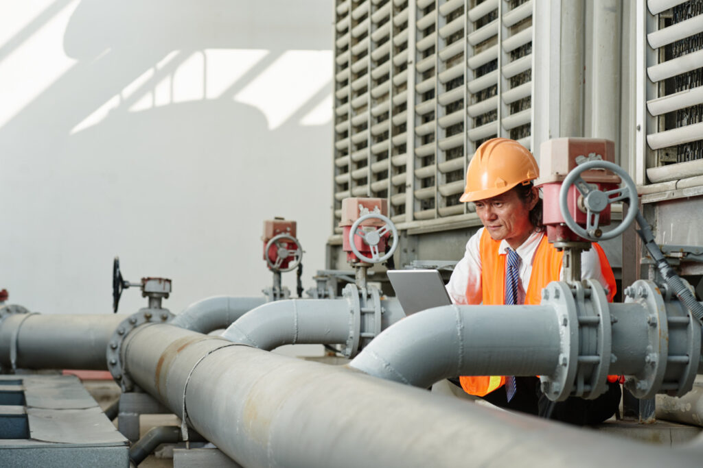
Advantages of Pipeline Surveys
- Increased Efficiency and Speed: Traditional surveying methods often require teams of surveyors to manually walk the length of the pipeline or use expensive helicopter services to capture aerial footage. In contrast, they are quicker and more cost-effective. UAVs can be deployed to survey large areas in a fraction of the time, without the need for expensive equipment or manpower.
- Enhanced Safety: Especially in hazardous environments, traditional surveying methods can put surveyors at risk. With drones, operators can complete surveys from a safe distance. This is particularly valuable for as-built surveys, where drones can safely inspect pipeline infrastructure in remote or challenging locations without compromising safety.
- High-Quality Data for Accurate Reporting: It delivers high-resolution images and videos, enabling clear, precise maps. This data can be used for boundary surveys in the area and for monitoring pipeline integrity. The quality of the data ensures operators get accurate, reliable reports, reducing the chances of errors or misinterpretations.
- Cost-Effective Solution: With fewer personnel required and less equipment needed, they are far more cost-effective than traditional methods. This is especially beneficial when surveying pipeline right of ways in Edmonton more remote regions. Operators can save significantly on labor costs and operational overhead.
Why It Matters for Pipeline Operators in Residential Boundary Survey?
Though pipeline surveys are often focused on large-scale infrastructure, residential boundary surveys can also be crucial for pipeline operators. When pipelines run near or through residential properties, properly surveying the boundaries is important to avoid conflicts with landowners and local authorities. UAV drone surveying can provide detailed, accurate mapping of residential property lines, preventing encroachment and ensuring pipeline operators adhere to legal boundaries.
Drone Pipeline Surveys in Different Regions
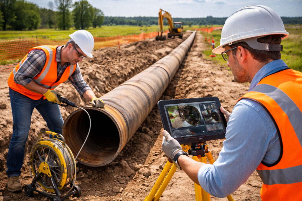
- Pipeline Surveys in Alberta: Alberta is home to a vast network of pipelines that transport critical resources across the region. Conducting surveys in Alberta’s varied landscapes requires precise equipment and skilled operators. Drone technology enables pipeline operators to survey large areas, such as gas pipeline right-of-way, quickly and efficiently. UAV land surveying also ensures that difficult terrains do not hinder accurate data collection.
- Pipeline Integrity Surveys in Calgary: Ensuring pipeline integrity is paramount, especially in areas like Calgary, where pipelines transport vital resources. Drones are ideal for monitoring and detecting early signs of wear, corrosion, or leaks. This is crucial for maintaining safe operations and avoiding costly repairs. UAVs enable consistent, regular surveys in Calgary, which are often required for regulatory compliance, ensuring the continuous safety and efficiency of pipeline systems in the region.
- Gas Pipeline Right of Way: Surveying gas rights-of-way is vital to ensure pipelines operate safely and efficiently. Drones can fly along these right of ways to monitor any potential encroachments or damage, providing real-time imagery for decision-makers. The ability to access land surveying quickly reduces the need for costly repairs and minimizes downtime.
How Drone Surveys Improve As-Built Pipeline Surveys
They allow pipeline operators to compare the physical pipeline’s location and layout against the original design plans. Drones can capture high-resolution imagery and 3D models that accurately depict the location and condition of pipelines, helping ensure construction aligns with the approved design. UAVs make these surveys more precise and faster than traditional methods, which rely on labor-intensive, time-consuming processes.
The Role of UAVs in Boundary Surveys Nearby
When conducting boundary line surveys or determining the exact limits of pipeline rights-of-way, UAVs provide an ideal solution. High-definition drone imagery can map boundary lines with incredible precision. This is especially useful when conducting surveys on residential properties, land that may be difficult to access, or remote areas. UAV land surveying ensures the operator knows exactly where the begins and ends, preventing legal disputes and encroachment issues.
Drones, on the other hand, significantly reduce time and cost while improving survey accuracy and safety. Traditional pipeline surveying involves multiple manual processes that can be slow, expensive, and even risky in certain environments. Traditional surveying may require access to difficult or dangerous areas, such as underwater construction sites or remote areas in Alberta. Drones can capture high-resolution data without exposing personnel to these risks, making them an ideal solution.
How UAV Drone Surveys Enhance Pipeline Construction Projects
UAVs make this process quicker and more precise by providing real-time data and imagery that construction teams can use immediately. Surveying for construction requires a high degree of accuracy to ensure that pipelines are laid correctly and in compliance with environmental regulations. Drones can survey difficult terrain, access land surveying quickly, and provide continuous updates as construction progresses, ensuring a smooth process.
The Future of Drone Pipeline Surveys
The future of drone pipeline surveys looks bright, with advancements in UAV technology continually improving data collection and analysis. As more pipeline operators adopt this technology, we can expect even greater precision, efficiency, and cost savings. The potential to combine drone surveys with AI-driven analytics will enable operators to predict pipeline issues before they occur, further enhancing integrity.
Other Service Replated Posts
Get the Best Look for Your Home with Cedar Park Siding Replacement Service
Everything You Should Know Before Hot Tub Installation in Edmonton
Transform Your Space: Expert Tips for Successful Home Renovation
Conclusion
Drone pipeline surveys have transformed how pipeline operators conduct surveying. By offering faster, safer, and more cost-effective solutions, UAVs have proven to be a smart investment for the industry. Whether you’re managing a gas pipeline right of way, performing pipeline integrity surveys in Calgary, or using drones, you need the accuracy and efficiency to keep operations running smoothly.
FAQs
What are the main benefits of using pipeline surveys?
Drone pipeline surveys offer numerous advantages, including increased speed, accuracy, and safety. This is especially beneficial for pipeline surveys in Alberta, where vast, challenging terrain requires efficient, cost-effective surveying solutions to ensure pipeline integrity and compliance.
How do drone surveys help with pipeline integrity?
Drone pipeline surveys are instrumental in identifying potential issues with pipeline integrity, such as corrosion or leaks. With their ability to capture high-resolution images and data, drones enable operators to monitor pipelines consistently and detect problems early.
Are drone pipeline surveys cost-effective?
Yes, they are cost-effective compared to traditional surveying methods. They require fewer personnel and less equipment, reducing labor and operational costs, while still providing highly accurate results.
How accurate are drone surveys for boundary lines?
UAV drone surveys provide exceptional accuracy for boundary line surveys. The high-resolution imaging and GPS capabilities of drones ensure precise measurements, making them ideal for residential boundary surveys.


